Home
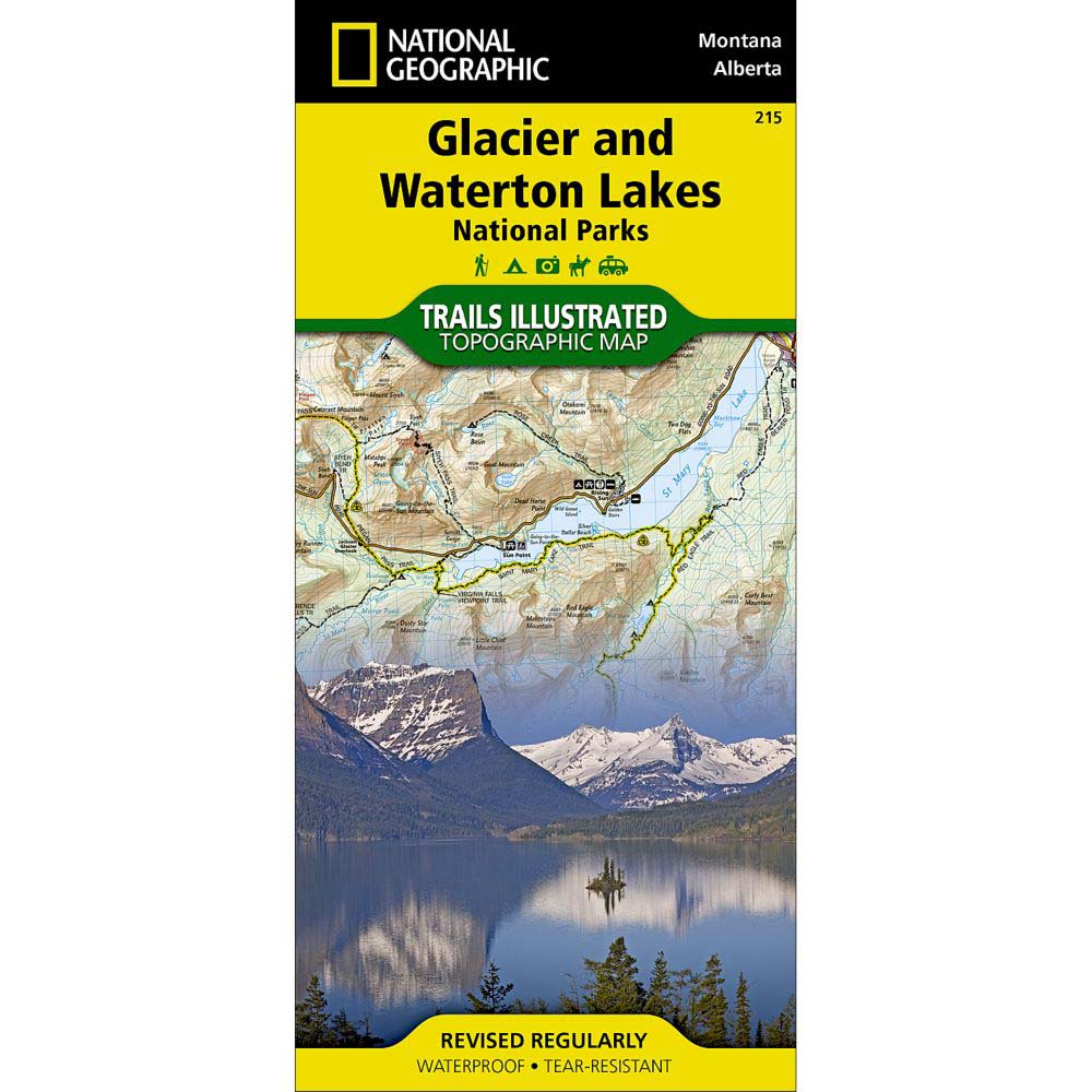
Trails Illustrated Map: Glacier & Waterton Lakes National Parks
ROCK CREEK
Trails Illustrated Map: Glacier & Waterton Lakes National Parks
From National Geographic Maps
Current price: $14.95
ROCK CREEK
Trails Illustrated Map: Glacier & Waterton Lakes National Parks
From National Geographic Maps
Current price: $14.95
Loading Inventory...
Color: Default Title
Size: One Size
Loading Inventory...
The National Geographic Trails Illustrated Map: Glacier & Waterton Lakes National Parks covers Waterton Lakes NP and includes Waterton Park, Upper and Middle Waterton Lakes, The Border Ranges, Akamina Kishinena Provincial Park, Blood Timber Reserve, and more.Glacier National Park covers the entire national park area, with detailed trails, and topographic information. Includes the Lewis and Clark Range, Many Glacier, Lake McDonald, Great Bear Wilderness, Flathead National Forest, Columbia Falls, Horse Reservoir, St. Mary Lake, and much more. UTM grids for use with your GPS unit are also provided.About Trails Illustrated:More than just a map, National Geographic Trails Illustrated topographic maps are designed to take you into the wilderness and back. Printed on tear-resistant, waterproof material, this map can go anywhere you do. Each map is based on exact reproductions of USGS topographic map information, updated, customized, and enhanced to meet the unique features of each area. The maps include valuable wilderness tips and Leave No Trace guidelines, along with updated trails, trailheads, points of interest, campgrounds, and much more. With a new color palette and stunning shaded relief, backcountry navigation has never been easier.