Home
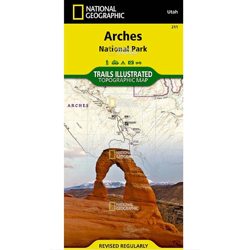
Trails Illustrated Map: Arches National Park
ROCK CREEK
Loading Inventory...
Trails Illustrated Map: Arches National Park in Chattanooga, TN
By National Geographic
Current price: $14.95
ROCK CREEK
Trails Illustrated Map: Arches National Park in Chattanooga, TN
By National Geographic
Current price: $14.95
Loading Inventory...
Size: One-Size
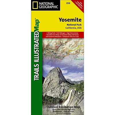
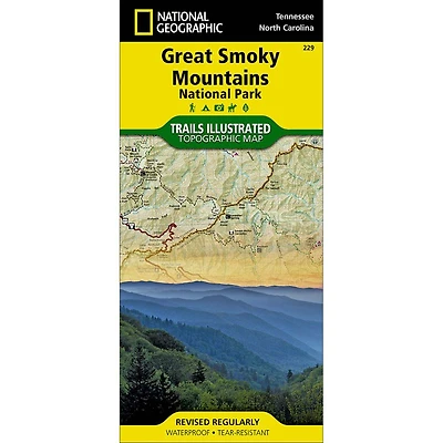
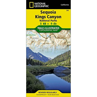
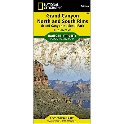
The trails are clearly marked and mileage between intersections is provided. River mileage on the Colorado River is noted as well, for those exploring by boat. Trail and road summaries provide the location, starting point, duration, and difficulty for a variety of suggested routes. Mountain bike trails are color-coded based on degree of difficulty, and motorcycle and ATV trail use is clearly noted. The map base includes contour lines and elevations for summits. Some of the many recreation features include interpretive trails, campgrounds, river access, picnic areas, and points of interest. Every Trails Illustrated map is printed on "Backcountry Tough" waterproof, tear-resistant paper. A full UTM grid is printed on the map to aid with GPS navigation. More than just a map, National Geographic Trails Illustrated topographic maps are designed to take you into the wilderness and back. Printed on tear-resistant, waterproof material, this map can go anywhere you do. Each map is based on exact reproductions of USGS topographic map information, updated, customized, and enhanced to meet the unique features of each area. The maps include valuable wilderness tips and Leave No Trace guidelines, along with updated trails, trailheads, points of interest, campgrounds, and much more. With a new color palette and stunning shaded relief, backcountry navigation has never been easier.
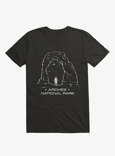
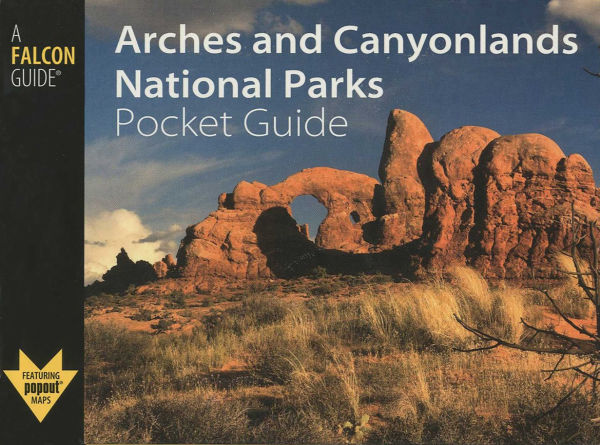
- With over 2,000 natural stone arches and hundreds of other extraordinary geological formations, Arches National Park is a red rock wonderland. National Geographic Maps Trails Illustrated Map: Arches National Park combines unmatched detail with helpful information to offer an invaluable tool for making the most of your visit to this iconic region. Created in partnership with local land management agencies, this expertly researched map features key areas of interest including Devils Garden, the Windows Section, Sand Flats Recreation Area, the Sovereign area, and Wolfe Ranch. The print version of the map includes fascinating information about the park's geology, archeology, history, and culture, as well as contact information and regulations.
- Other features found on this map include: Arches National Park, Salt Valley.
- About Trails Illustrated:
The trails are clearly marked and mileage between intersections is provided. River mileage on the Colorado River is noted as well, for those exploring by boat. Trail and road summaries provide the location, starting point, duration, and difficulty for a variety of suggested routes. Mountain bike trails are color-coded based on degree of difficulty, and motorcycle and ATV trail use is clearly noted. The map base includes contour lines and elevations for summits. Some of the many recreation features include interpretive trails, campgrounds, river access, picnic areas, and points of interest. Every Trails Illustrated map is printed on "Backcountry Tough" waterproof, tear-resistant paper. A full UTM grid is printed on the map to aid with GPS navigation. More than just a map, National Geographic Trails Illustrated topographic maps are designed to take you into the wilderness and back. Printed on tear-resistant, waterproof material, this map can go anywhere you do. Each map is based on exact reproductions of USGS topographic map information, updated, customized, and enhanced to meet the unique features of each area. The maps include valuable wilderness tips and Leave No Trace guidelines, along with updated trails, trailheads, points of interest, campgrounds, and much more. With a new color palette and stunning shaded relief, backcountry navigation has never been easier.
- With over 2,000 natural stone arches and hundreds of other extraordinary geological formations, Arches National Park is a red rock wonderland. National Geographic Maps Trails Illustrated Map: Arches National Park combines unmatched detail with helpful information to offer an invaluable tool for making the most of your visit to this iconic region. Created in partnership with local land management agencies, this expertly researched map features key areas of interest including Devils Garden, the Windows Section, Sand Flats Recreation Area, the Sovereign area, and Wolfe Ranch. The print version of the map includes fascinating information about the park's geology, archeology, history, and culture, as well as contact information and regulations.
- Other features found on this map include: Arches National Park, Salt Valley.
- About Trails Illustrated: