Home
New River Gorge National River Map
ROCK CREEK
Loading Inventory...
New River Gorge National River Map in Chattanooga, TN
By National Geographic
Current price: $14.95
ROCK CREEK
New River Gorge National River Map in Chattanooga, TN
By National Geographic
Current price: $14.95
Loading Inventory...
Size: One-Size
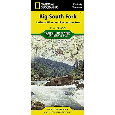
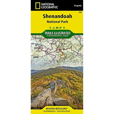
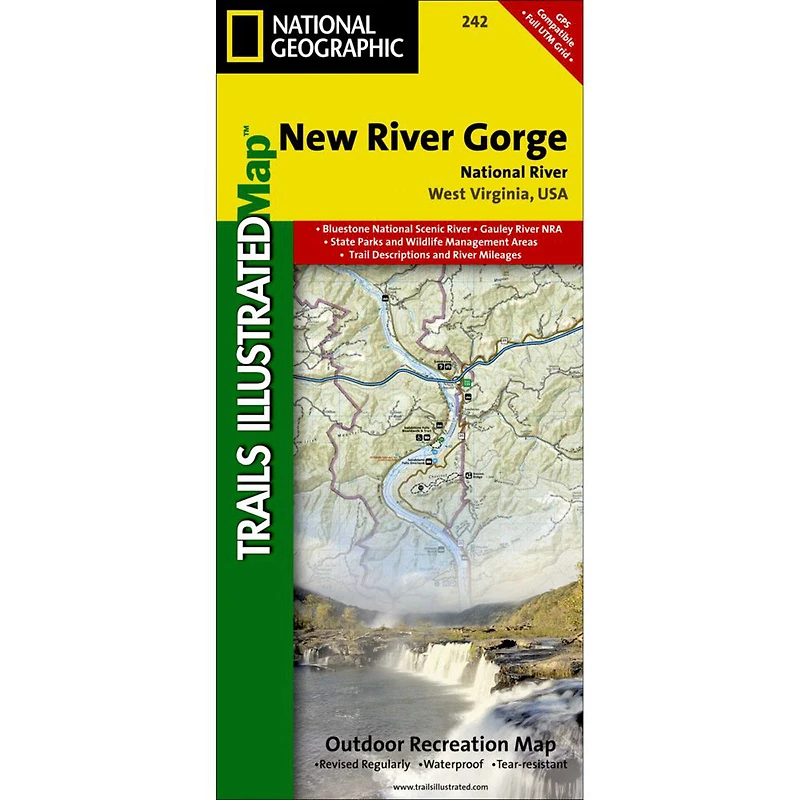
Fifty-three miles of West Virginia's New River and its gorge, and forty miles of its tributaries, are preserved as New River Gorge National River, Gauley River National Recreation Area, and Bluestone National Scenic River. Expertly researched and created in partnership with local land management agencies, National Geographic's Trails Illustrated map of New River Gorge National River offers an unparalleled tool for exploring this beautiful riparian region. Key areas of interest featured on this map include Summerville Lake and Babcock, Little Beaver, Pipestem, Carnifex Ferry Battlefield, and Hawks Nest state parks. A detailed inset of Canyon Rim is provided in the print version of this map. Extensive trail summaries with location, distance, and use will help you choose the path that's right for you. River mileage is noted for those exploring by boat. Recreation features are clearly marked, including campgrounds, trailheads, picnic areas, boat launches, whitewater access, fishing and swimming areas, marinas, and boat rental locations. Helpful agency contact information and safety tips are included as well. The map base includes contour lines, shaded relief, and elevations for summits and passes. Every Trails Illustrated map is printed on "Backcountry Tough" waterproof, tear-resistant paper. A full UTM grid is printed on the map to aid with GPS navigation. • Waterproof • Tear-Resistant • Topographic Map
- Other features found on this map include: Bluestone Lake, Flat Top Mountain, Gauley River, Greenbrier River, New River Gorge.
![Nantahala and Cullasaja Gorges [Nantahala National Forest] Map](https://cdn.mall.adeptmind.ai/https%253A%252F%252Fcdn.shopify.com%252Fs%252Ffiles%252F1%252F0602%252F4842%252F4680%252Fproducts%252Fnantahlac-gorge-TI00000785_N_20A.jpg_medium.webp)