Home
French Broad and Nolichucky Rivers [Cherokee, Pisgah NF ] Map
ROCK CREEK
![French Broad and Nolichucky Rivers [Cherokee, Pisgah NF ] Map](https://cdn.mall.adeptmind.ai/https%253A%252F%252Fgearheadoutfitters.com%252Fcdn%252Fshop%252Fproducts%252FFrench-Broad-and-Nolichucky-Rivers-Cherokee-Pisgah-NF-110318_N_20A.jpg%253Fv%253D1653096003_large.webp)
French Broad and Nolichucky Rivers [Cherokee, Pisgah NF ] Map in Chattanooga, TN
By National Geographic
ROCK CREEK
French Broad and Nolichucky Rivers [Cherokee, Pisgah NF ] Map in Chattanooga, TN
By National Geographic
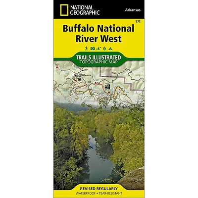
Outdoor enthusiasts seeking to explore the western parts of Cherokee and Pisgah National Forests will find National Geographic's Trails Illustrated map of French Broad and Nolichucky Rivers a complete guide to the area. Expertly researched and created in partnership with the National Park Service and others, the map covers with unmatched detail the two forests from their western boundaries to the Tennessee/North Carolina border. Key points of interests featured on the map include Sampson Mountains Wilderness, Paint Creek Corridor and Bald Mountains.
Displayed on the map are activity guides listing recreation features, to help you select the best location according to your area of interest. Additionally, trail guides, listing trails with their mileage, difficulty level and designated use, will help you select the best route for exploration. Trails on the map are color-coded according to the designated usage, whether you wish to explore foot, horseback, bike, or motorized vehicle. The Appalachian Trail that snakes through the area is highlighted. The detailed map topography includes contour lines, elevations and water features. Some of the many recreation features shown are campgrounds and backcountry shelters, wildlife and wildflower viewing areas, scenic overlooks and lookout towers, fishing areas, shooting ranges, river access points and swimming areas. Also included are safety tips, including bear safety, share the trail rules and essential contact information.
Every Trails Illustrated map is printed on "Backcountry Tough" waterproof, tear-resistant paper. A full UTM grid is printed on the map to aid with GPS navigation.
Waterproof - Tear-Resistant - Topographic Map
Other features found on this map include: Bald Mountains, Cherokee National Forest, Great Smoky Mountains, Greeneville, Nolichucky River, Old Black, Pisgah National Forest, Tusculum College, Walnut Mountains.

![Mount Rogers National Recreation Area [Jefferson NF ] Map](https://cdn.mall.adeptmind.ai/https%253A%252F%252Fgearheadoutfitters.com%252Fcdn%252Fshop%252Fproducts%252FMount-Rogers-National-Recreation-Area-Jefferson-NF-CT34M_N_20A.jpg%253Fv%253D1653095956_medium.webp)