Home
Denali National Park And Preserve Map
ROCK CREEK
Loading Inventory...
Denali National Park And Preserve Map in Chattanooga, TN
By National Geographic
Current price: $14.95
ROCK CREEK
Denali National Park And Preserve Map in Chattanooga, TN
By National Geographic
Current price: $14.95
Loading Inventory...
Size: One-Size
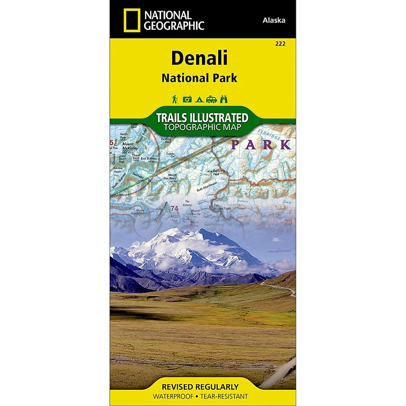
Denali National Park and Preserve covers a staggering six million acres of truly wild and pristine wilderness, bisected by a single road. The crown jewel of the park is the towering 20,320 foot Mount McKinley, North America's tallest peak. Expertly researched and created in partnership with local land management agencies, National Geographic's Trails Illustrated map of Denali National Park provides an unparalleled tool for exploring this remarkable region. Key areas of interest featured on this map include Denali State Park; Kroto, Moose Creek, and Lake Creek recreation rivers; Lake Minchumina; and the Kantishna Mining District. The print version of the map includes a detailed inset of the park entrance and headquarters. If you wish to camp in the park, a chart of campground information that includes the distance from the entrance, number and type of spaces, facilities, access, and contact information for making your reservations will help you plan your stay. Private vehicle travel in the park is limited, but this map's coverage of the shuttle bus system will ensure you have the knowledge you need to access the entire park. Helpful information about regulations, avoiding close encounters with bears, hiking in the Kantishna Mining District, and safety tips, as well as clearly marked campgrounds, rental cabins, bush airstrips, trailheads, and more will help you enjoy all the park has to offer. The map base includes contour lines and elevations for summits, passes and many lakes. Every Trails Illustrated map is printed on "Backcountry Tough" waterproof, tear-resistant paper. A full UTM grid is printed on the map to aid with GPS navigation. • Waterproof • Tear-Resistant • Topographic Map
- Other features found on this map include: Bear Creek, Birch Creek, Broad Pass, Browne Tower, Chelatna Lake, Chulitna River, Chunilna Creek, Dall Glacier, Denali National Park, Denali National Preserve, East Buttress, Eldridge Glacier, Foraker River, Herron River, Kahiltna Glacier, Lacuna Glacier, Lake Minchumina, McKinley River, Moose Creek, Mount Foraker, Mount Hunter, Mount Mather, Mount McKinley, Muldrow Glacier, Portage Creek, Ruth Glacier, Sheep River, South Buttress, Stephan Lake, Talkeetna River, Tokositna Glacier, Yanert Fork, Yentna Glacier.