Home
C-Map Reveal South Eastern US Lakes
Academy Sports + Outdoors
Loading Inventory...
C-Map Reveal South Eastern US Lakes in Chattanooga, TN
By C-Map
Current price: $179.00
Academy Sports + Outdoors
C-Map Reveal South Eastern US Lakes in Chattanooga, TN
By C-Map
Current price: $179.00
Loading Inventory...
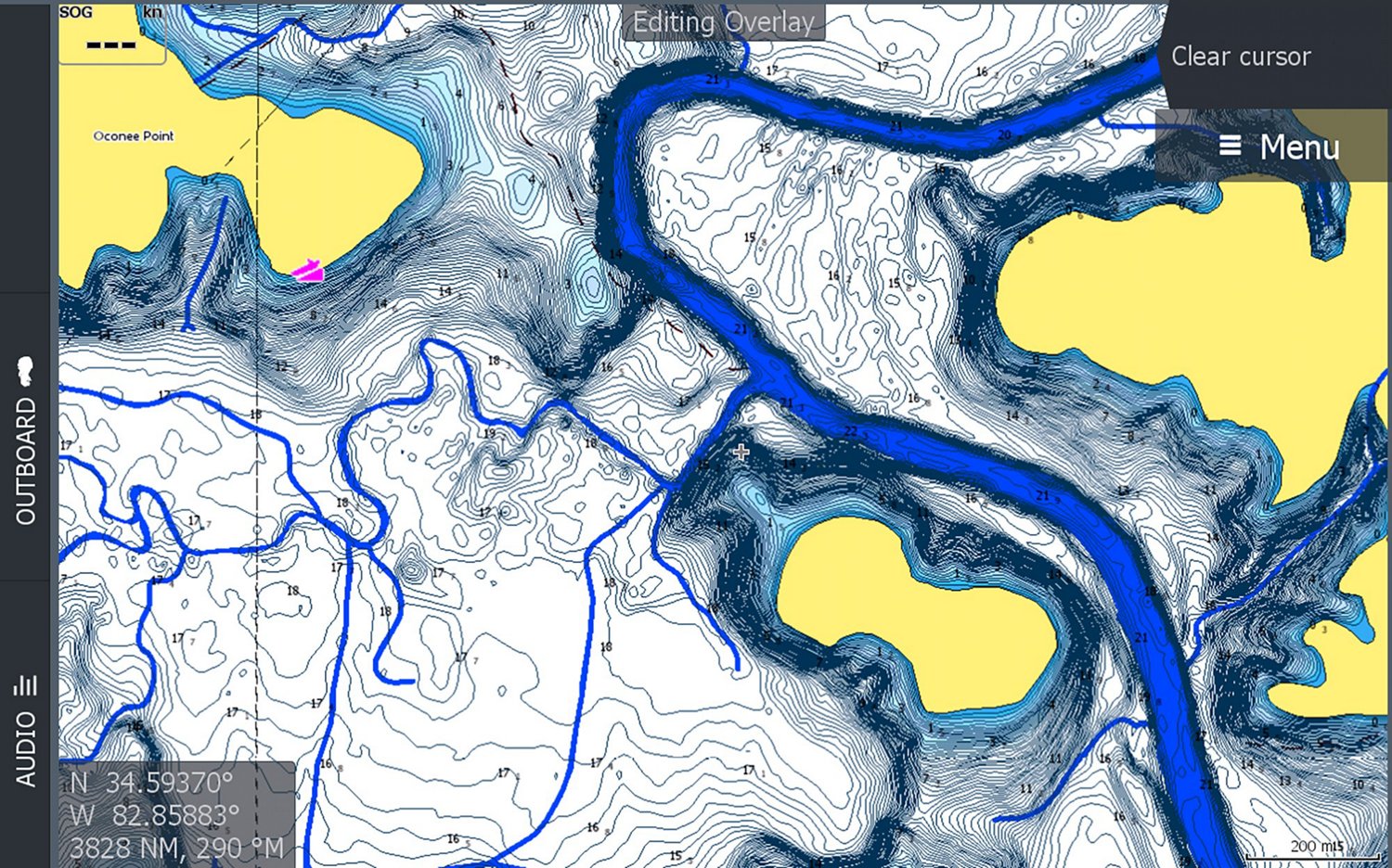
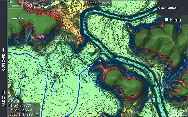
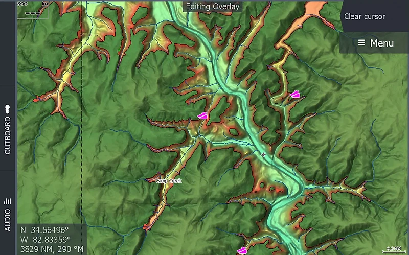
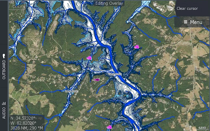
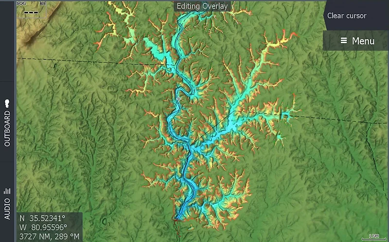
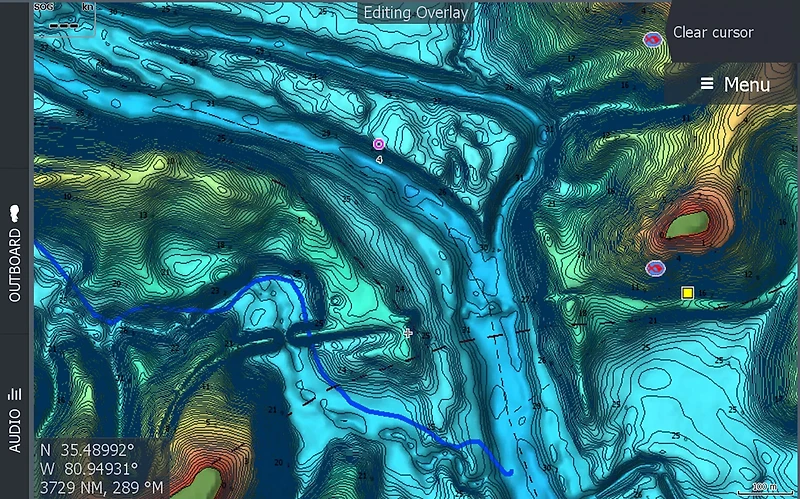
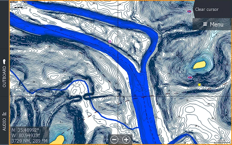
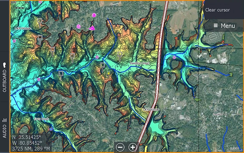
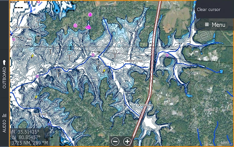
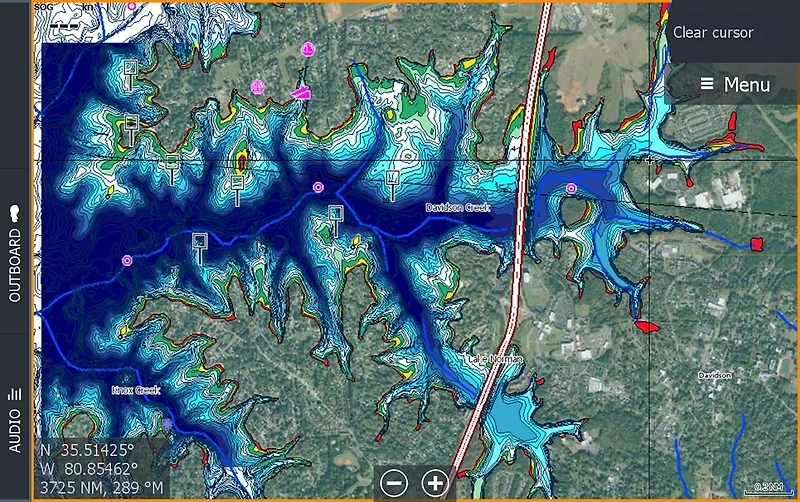
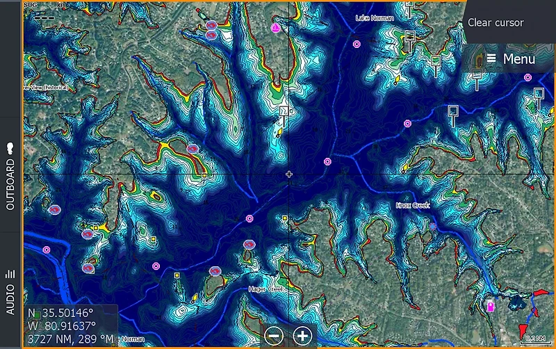
Navigate your way through Inland shores with ease when you use the C-Map Reveal South Eastern US Lakes. This map is compatible with Lowrance, Simrad and B&G Chartplotters and contains inland maps of Alabama, Georgia, Tennessee, Kentucky, Virginia, North Carolina, South Carolina and Florida lakes. The full featured vector charts include tides, currents and detailed Marina Port Plans. The Shaded Relief offers custom depth shading for enhanced views of river and lake beds, while the Custom and Easy Routing utilizes chart data and your personalized vessel information to create safe routes Micro SD card format.
- Contains inland maps of Alabama, Georgia, Tennessee, Kentucky, Virginia, North Carolina, South Carolina and Florida
- Delivers up to 3,000 waypoints, 100 routes, 100 trails with up to 10,000 points per trail
- Full featured vector charts include tides, currents and detailed Marina Port Plans
- Hi-Res bathymetry and integrated Genesis Layers
- Comes with subscription free routing and 12-month free updates
- Compatible with Lowrance, Simrad and B&G Chartplotters
- CD title memory: No
- HD ready: No
- Product Type: Marine Electronics
- Professional installation required: No
- CD text: No
- Activity: Boating
- Style: Mapping Software