Home
Buffalo National River East Map
ROCK CREEK
Buffalo National River East Map in Chattanooga, TN
By National Geographic
ROCK CREEK
Buffalo National River East Map in Chattanooga, TN
By National Geographic
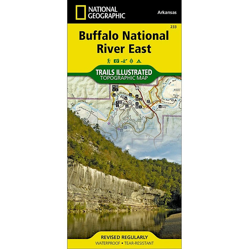
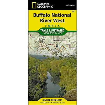
Flowing freely for 153 miles in northern Arkansas, the wild and fully protected Buffalo River was the first National River to be designated in the United States. Expertly researched and created in partnership with the National Park Service and others, National Geographic's Trail Illustrated map of Buffalo National River East provides unparalleled detail of the middle and lower sections of the river as well as the surrounding areas. Shown with mileage markers, the map's coverage of the river begins at mile 66, just before Mount Hersey, and follows the river to its confluence with the White River at mile 153. Pinpointed along the way are river access points, campgrounds, visitor centers, parking areas and other facilities and recreational points of interest.
Precisely mapped trails are labeled according to their designated usage and shown with mileage markers, including the Buffalo River and Ozark Highlands Trails, which are both highlighted. Trail descriptions are also provided for many of the popular hiking trails. To aid in your navigation, the map shows contour lines, elevations, labeled peaks and selected waypoints. Canoeing, hiking and horseback riding guidelines, regulations and safety tips are also provided, as well as a river mileage chart and essential contact information. The map's coverage includes the Lower Buffalo and Leatherwood Wilderness Areas, Gene Rush Wildlife Management Area and parts of Ozark National Forest.
Every Trails Illustrated map is printed on ""Backcountry Tough"" waterproof, tear-resistant paper. A full UTM grid is printed on the map to aid with GPS navigation.
- Waterproof
- Tear-Resistant
- Topographic Map
Other features found on this map include: Buffalo National River, Buffalo River, Leatherwood Wilderness, Ozark National Forest.
![Grand Canyon East [Grand Canyon National Park] Map](https://cdn.mall.adeptmind.ai/https%253A%252F%252Fgearheadoutfitters.com%252Fcdn%252Fshop%252Fproducts%252FGrand-Canyon-East-Grand-Canyon-National-Park-TI00000262_N_20A.jpg%253Fv%253D1653095970_medium.webp)