Home
A-Z Master Atlas of Greater London
Barnes and Noble
Loading Inventory...


A-Z Master Atlas of Greater London in Chattanooga, TN
Current price: $36.99
Barnes and Noble
A-Z Master Atlas of Greater London in Chattanooga, TN
Current price: $36.99
Loading Inventory...
Size: OS
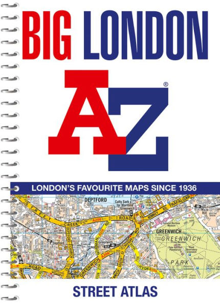
The ultimate street atlas to navigate your way around London.
This comprehensive, paperback atlas encompasses an area of 1,450 square miles, including more than 90,000 streets and other addresses, and is trusted by local authorities, taxi drivers and emergency services.
The coverage extends beyond the Greater London and M25 area to: Hemel Hempstead, St. Albans, Potters Bar, Waltham Cross, Epping, Brentwood, Thurrock, Stanford-le-Hope, Gravesend, Wrotham, Sevenoaks, Westerham, Oxted, Redhill, Reigate, Leatherhead, Great Bookham, Woking, Egham, Windsor, Slough, Chalfont St. Peter, Chorleywood, Bovingdon
There are 18 pages of large scale (9" to 1 mile) street mapping of central London which gives additional clarity and detail, this mapping extends to: Regent's Park, St. Pancras International Station, Old Street, Tower Bridge, Bricklayer's Arms Junction, Vauxhall Bridge, South Kensington, Paddington Station and Lord's Cricket Ground.
Postcode districts and one-way streets are included on the street mapping.