Home
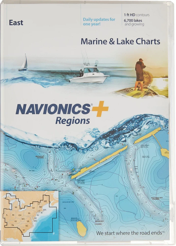
Navionics Regions East Region Marine and Lake Charts and Maps
Academy Sports + Outdoors
Navionics Regions East Region Marine and Lake Charts and Maps
From Navionics
Current price: $149.99
Academy Sports + Outdoors
Navionics Regions East Region Marine and Lake Charts and Maps
From Navionics
Current price: $149.99
Loading Inventory...
Loading Inventory...
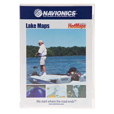
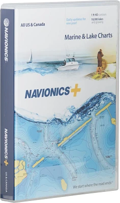
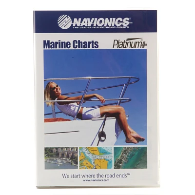
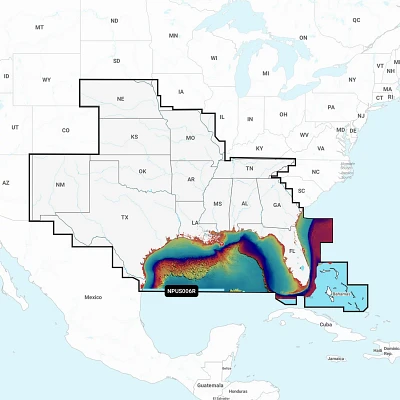
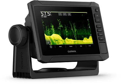
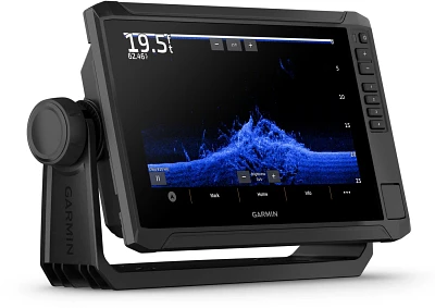
Technology has revolutionized most things in life, so why not use it to improve your fishing and boating adventures as well? The Navionics Regions East Region Marine and Lake Charts and Maps have detailed nautical charts and SonarCharts of the lakes and coastal waters from Maine to Illinois to South Carolina and everything in between. These charts come in an MSD format and include an SD adapter for easy viewing, and they utilize GPS technology to show your location on the map and depth.
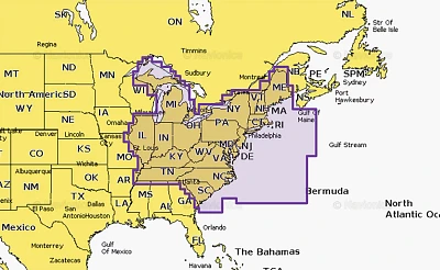
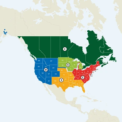
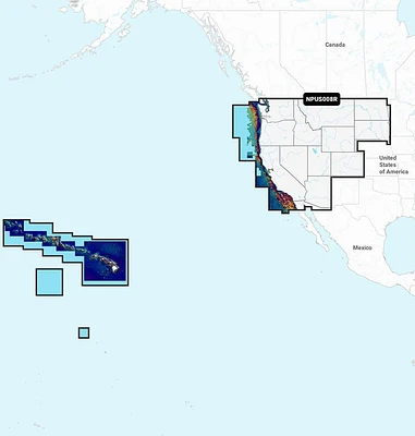
- Details the lakes and coastal waters in ME, NH, MA, VT, RI, CT, NY, PA, NJ, DE, MD, VA, WV, NC, SC, TN, KY, IN, IL, OH and MI
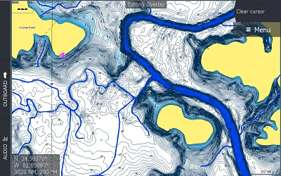
- Standard nautical charts and additional SonarCharts for even more depth information
- GPS technology displays depth and where you are on the map
- MSD format; comes with an SD adapter
- Daily updates are available for up to 1 year